-
details
Flat Rock Trail
Flat Rock Trail is 2.5 miles long (one way) leading from Colonel Denning State Park to the top of Blue Mountain in Tuscarora State Forest. The trail head is at the footbridge next to the environmental classroom amphitheater. This is a moderate to rugged hike climbing in elevation over 900 feet with rocks and loose gravel.
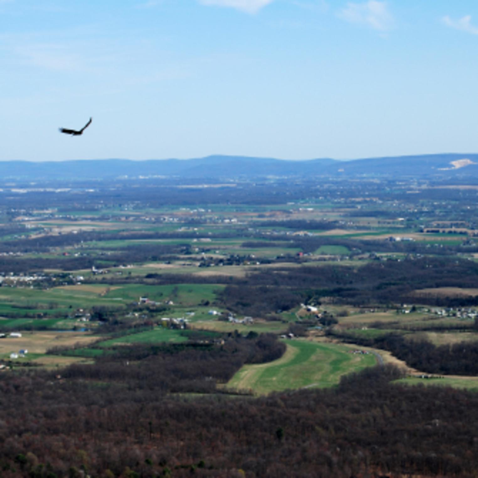
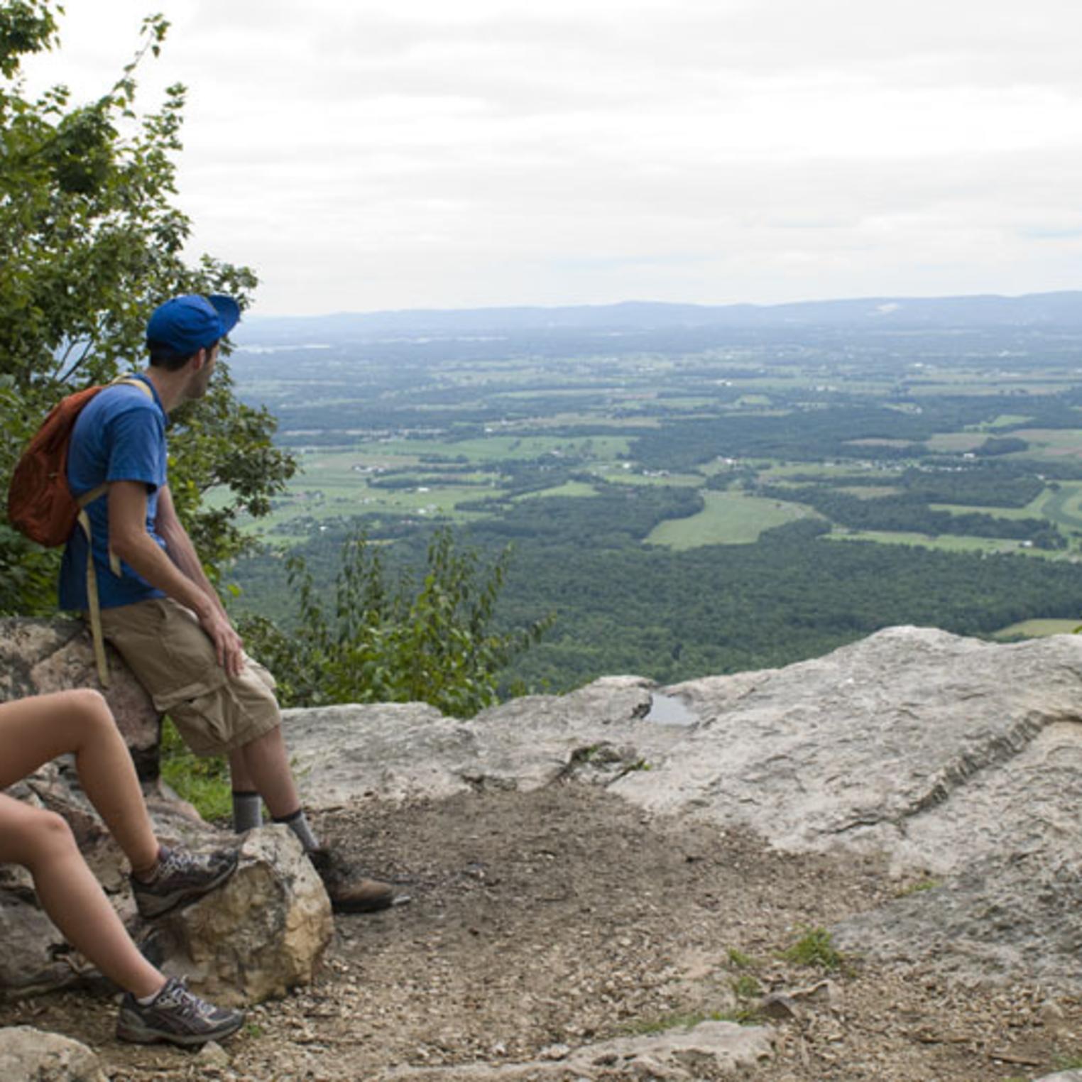
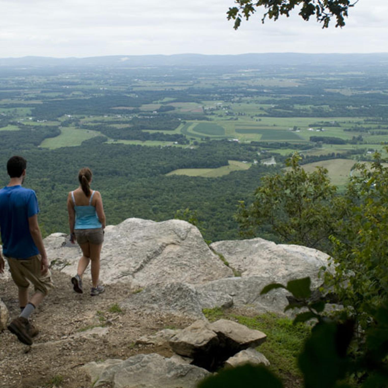
At the top of the mountain, Flat Rock Trail joins the Tuscarora Trail to the overlook. The trail blazes change from red to blue where the trails join together. Flat Rock Trail overlook is a natural rock outcrop that affords a 180-degree spectacular view of Cumberland Valley.
- Mile 0.0 -- Trail begins at the amphitheater footbridge.
- Mile 0.20 -- Trail turns left onto a dirt access road.
- Mile 0.40 -- Trail passes old spring houses.
- Mile 0.90 -- Trail joins Tuscarora Trail on top of Blue Mountain, at the "Wagon Wheel" of trails.
- Mile 1.15 -- Trail crosses the headwaters of Wildcat Run.
- Mile 2.20 -- Trail ends at Flat Rock Overlook.
Wear good hiking boots and bring snacks and a drink. The best time to hike this trail is from March to October. During colder winter months, you may find ice spots along the trail, especially near the top. Leashed dogs are allowed.
Flat Rock Trail Parking
The main parking lot for Flat Rock Trail is located just behind the park office was being repaved. There is a second parking are near the "Equestrian Trailhead."
Flat Rock Trail Map/ Recreational Guides and Maps
-
amenities
Quick Check
- Pets Allowed:
Amenities
- Restrooms:
Land Recreation
- Any Length Trail:
- Bird Watching:
- Colonel Denning State Park:
- Hiking Trails:
- Miles of Trails: 2.5
- Number of Trails: 1
- Picnic Area/Pavilions:
- Scenic Overlook:
- Trail Length < 5 Miles:
-
map
- yelp

