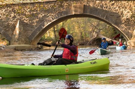


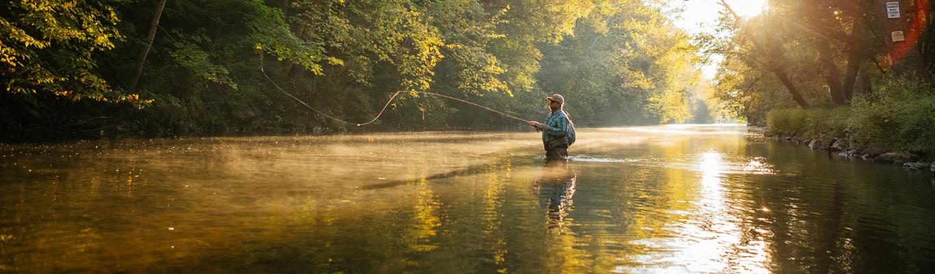
Start off the new year with a winter hike. The colder weather means the trails are less crowded, making it ideal for getting outside and exploring. The Friends of Pine Grove Furnace State Park previously posted these simplified maps and hiking suggestions on their Facebook page.
You can download these maps at www.FriendsofPineGrove.org/documents or pick up printed black-and-white copies in the State Park Office, courtesy of the Friends.
Option #1: Furnace Stack Area
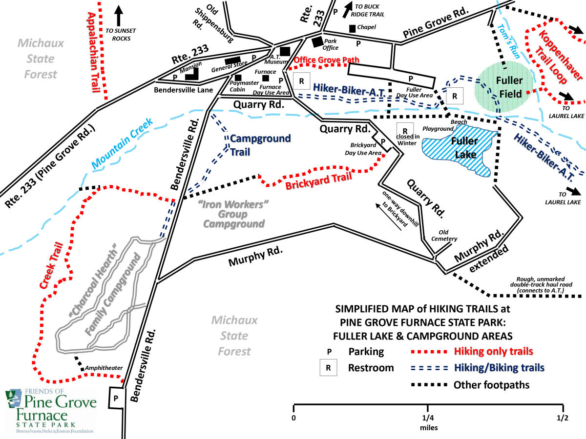
A. Park at the Furnace Stack or General Store. Follow Quarry Road to the Brickyard Day Use Area -- to the left of the pavilion, find the start of Brickyard Trail. At the other end of this trail, continue straight through the group campground parking lot to Bendersville Road. Across the road is Creek Trail, which circles around the family campground. At the far end of Creek Trail, walk through the Amphitheater and up to Bendersville Road, turn left, and walk downhill along the road to return to the Furnace Stack. Distance: approximately 2 miles.
B. Park at the Furnace Stack or General Store (or park at Fuller Lake and make this loop in reverse). To the right (south) of the Furnace restroom building, follow the Biker-Hiker-Appalachian Trail to Fuller Lake. At the Fuller Bathhouse building, turn right, cross a small bridge onto the sandy beach, and turn left. Continue a short distance past the beach. At the outlet of the lake, turn left at a small bridge onto grassy Fuller Field. Follow the Biker-Hiker-Appalachian Trail as it loops leftward to the large Fuller Lake parking lot. Walk all the way to the far end of the grassy half of the parking lot. Next to a small brown shed on the far right is the new Office Grove Path. This very short unmarked connector leads back to the Furnace Stack. Distance: slightly less than 1 mile.
Reference the simplified map pictured above to help with your hike. The relatively new Campground Trail takes pedestrians (and bicycles) off busy Bendersville Road for a short stretch near the Campgrounds. Other than the connector from the Mountain Creek road bridge to the Campground entrance and the Hiker-Biker-A.T., please note bikes are not allowed on the park's hiking trails.
Option #2: Fuller Lake to Laurel Lake
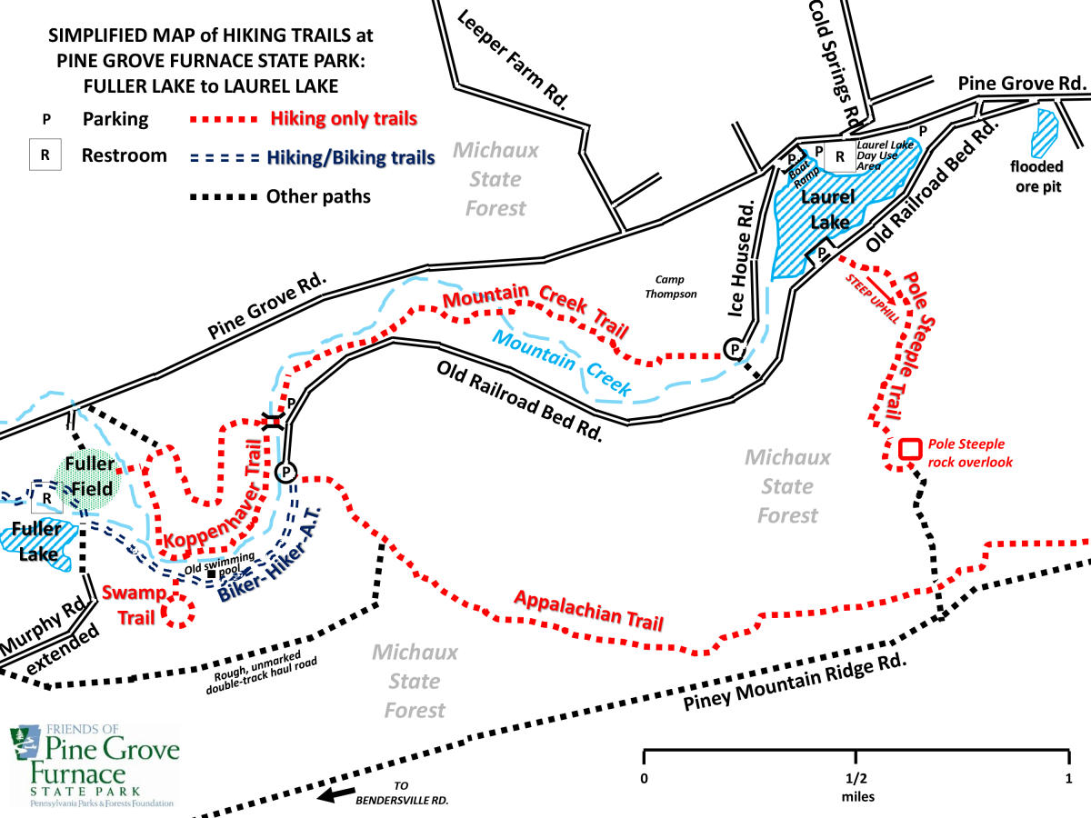
Park at Fuller Lake. To the left of the large Bathhouse building, follow the Biker-Hiker-Appalachian Trail as it loops onto Fuller Field. Cross the grass to your left -- on the far side of the field is the entrance to Koppenhaver Trail. After crossing a small bridge, turn left or right. In either direction, this loop trail will lead you eastward across the State Park. At the opposite end of Koppenhaver Trail, a new hiking bridge crosses Mountain Creek.
A. After crossing the hiking bridge, turn right onto Old Railroad Bed Road. Follow the road to a yellow gate, and continue straight past this gate onto the Biker-Hiker-Appalachian Trail. Follow this flat path back to the Fuller Lake area. Distance: approximately 1.75 miles.
B. After crossing the hiking bridge, turn left and begin Mountain Creek Trail. At its far end, turn right and cross a wide bridge onto Old Railroad Bed Road. Turn right and follow the road past a yellow gate, where it becomes the flat Biker-Hiker-Appalachian Trail. Continue straight ahead to return to the Fuller Lake area. Distance: approximately 4 miles.
Reference the simplified map pictured above to help with your hike.
Winter Hiking Tips
Winter conditions, such as snow and ice, can be more severe in the park's higher elevations. Be sure to plan ahead and stay on the marked trails. Here are some hiking safety tips from the Pennsylvania Department of Conservation and Natural Resources.
- Dress in layers such as wool and quick-dry materials.
- Wear proper footwear, such as boots with good ankle support.
- Wear fluorescent orange for protection during hunting seasons.
- Practice Leave No Trace principles while hiking.
- Bring a day pack that includes a water bottle, snacks, a small first aid kit, gloves, a hat, and a trail map.
- Thoroughly plan and understand the route/trail you will hike; maps are available at the park and online.
- Notify someone who is not hiking with you of your destination and expected return time. This is especially important if you are hiking alone.