Spend your day navigating the winding back roads of scenic, neighboring Perry County. This rural area is home to fifteen covered bridges, all varying in age, length and condition. Some are still open to vehicle traffic while others are confined to foot traffic only.
Take Loop A for a shorter trip covering seven bridges or Loop B for an all-day excursion covering eight bridges and three wineries. Both loops take you to Little Buffalo State Park, which offers a variety of outdoor activities perfect for stretching your legs. Both loops also begin and end at the Carlisle Fairgrounds (1000 Bryn Mawr Rd, Carlisle), making this trip a perfect addition to a car show weekend.
There are two loops in this tour: Loop A is 86.7 miles and Loop B is 144.5 miles. Both loops begin here:
1. Turn right onto F St (.4 mi).
2. Turn left onto N College St (.3 mi).
3. Turn right onto B St/N PA-74 (.2 mi).
4. Continue onto PA-74 N/Waggoner’s Gap Rd (12 mi).
5. Turn left onto McCabe Rd (2 mi).
6. Turn right onto Barkley Rd (.3 mi)
7. Turn right onto Kennedy Valley Rd/Pine Hill Rd.
Rice’s Bridge – The Rice/Landisburg Bridge was built in 1869 to cross Sherman’s Creek. This 132 foot long, 18 foot wide bridge utilizes a Burr Arch Truss. The bridge is open to vehicle traffic.
8. Head northeast on Kennedy Valley Rd/Pine Hill Rd toward Bridgeport Rd/State Rte 3017 (.5 mi).
9. Slight left onto Carlisle St/State Rte 3017; continue onto PA-233 N/PA-850 W (.5 mi).
10. Continue onto PA-233 N/PA-850 W; continue to follow PA-850 W (.5 mi).
11. Turn left onto Ernest Rd (1.5 mi).
12. Turn left onto Hidden Valley Rd/State Rte 3010 (3.3 mi).
13. Turn left to stay on Hidden Valley Rd (299 ft).
14. Turn right to stay on Hidden Valley Rd (1.3 mi).
15. Turn right onto Couchtown Rd/ State Rte 3008 (1 mi).
Adair’s Bridge – The Adair’s Bridge was built in 1864 to cross Sherman’s Creek. This 150 foot long, 14 foot wide bridge utilizes a Burr Arch Truss. The original bridge was damaged in a flood and rebuilt in 1919. The bridge is open to vehicle traffic. This is a great spot for photographs!
16. Head north on Couchtown Rd/ State Rte 3008 (.4 mi).
17. Turn left onto PA-274 W (4.9 mi).
18. Turn left to stay on PA-274 (1.1 mi).
19. Turn left onto State Rte 3003/3 Springs Rd (.3 mi).
Brook’s Bridge – The Brook’s Bridge was built in 1884 to cross Sherman’s Creek. This 70 foot long, 17 foot wide bridge uses a single span. The bridge was closed to traffic in 1992 and rebuilt in 2004.
20. Head southeast on 3 Springs Rd/ State Rte 3003 toward Fowler Hollow Rd/ State Rte 3004 (1.1 mi).
21. Turn right onto Fowler Hollow Rd/ State Rte 3004 (3 mi).
22. Sharp right onto Lower Buck Ridge Rd/ State Rte 302 (1.9 mi).
New Germantown Bridge – The New Germantown Bridge was built in 1891 by John W. Fry to cross Sherman’s Creek. This 74 foot long, 12 foot wide bridge utilizes a Burr Arch Variant Truss. The bridge is open to vehicle traffic.
23. Head northwest on Lower Buck Ridge Rd/ State Rte 302 toward PA-274 E (.2 mi).
24. Turn right onto PA-274 E (3.7 mi).
25. Turn left onto PA-17 E (5.9 mi).
26. Continue straight onto PA-17 E (3.6 mi).
27. Turn right onto Fritz Rd (.2 mi).
Kochenderfer’s Bridge The Kochenderfer’s Bridge was built in 1919 by the Adair Brothers to cross Big Buffalo Creek. This 71 foot long, 18 foot wide bridge utilizes the Burr Arch Variant Truss. The bridge is privately owned and closed to vehicle traffic.
28. Head east on Fritz Rd toward Rupp Rd (.3 mi).
29. Turn left onto Rupp Rd (1.1 mi).
30. Slight right to stay on Rupp Rd (1.6 mi).
31. Turn left onto PA-74/N Veterans Way (.9 mi).
32. Continue onto PA-849 E (.8 mi).
33. Turn right onto Middle Ridge Rd (9 mi).
34. Turn right on Gill Hill Rd/ State Rte 1011 (1.1 mi).
35. The bridge and a small parking lot will be on your left.
Clay’s Bridge – The Clay’s (Wahneta) Bridge was built in 1890 by George Harting to cross the Little Buffalo Creek. This 82 foot long, 15 foot wide bridge utilizes a Burr Arch Truss. The bridge was moved from its original location one mile west to its current location in Little Buffalo State Park and is open to foot traffic only.
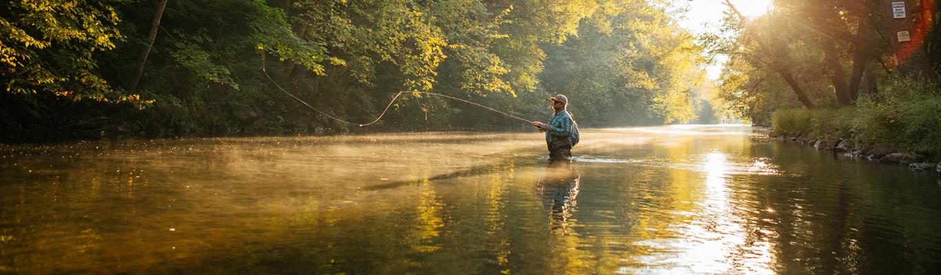
While you are at Little Buffalo State Park, also be sure to enjoy the 1849 Shoaff’s Mill, fishing and boating in Holman Lake, swimming in the pool or hiking any of the eight miles of trails.
Please choose Loop A (shorter) or Loop B (longer; includes wineries) at this point.
Loop A
36. Continue south on State Rte 1011 (1.4 mi).
37. Turn right onto PA-34 S/Keystone Way (1.8 mi).
38. Turn left to stay on PA-34 S/S Carlisle St/Spring Rd (3.4 mi).
39. Turn right to stay on PA-34 S/Spring Rd (.2 mi).
40. Turn left onto Delville State Rd/State Rte 2002 (2.2 mi).
41. Turn right onto Pine Hill Rd.
Dellville Bridge – The Dellville Bridge was built in 1889 by Andrew Clouser to cross the Sherman Creek. This 174 foot long, 20 foot wide bridge utilizes a Burr Arch Truss. The original bridge was destroyed in the 1972 Hurricane Agnes flood and rebuilt by Stephen J. Esh in 1973. The bridge is open to vehicle traffic.
Dellville Bridge Update – The Dellville Bridge was severely damaged in a November 2014 fire. Although efforts are being made to save the bridge, it sustained structural damage. Please maintain a safe distance while viewing this bridge.
42. Head southwest on Pine Hill Rd toward 305 (3.7 mi).
43. Continue straight onto Mountain Rd (2.4 mi).
44. Turn left onto PA-34 S/Spring Rd (6.6 mi).
45. End at Carlisle Fairgrounds.
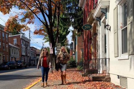
End your trip with any of the great downtown Carlisle eateries. See the Dine Around the World trip idea for suggestions!
Loop B
36. Head east toward State Park Rd/ State Rte 1011 (.1 mi).
37. Turn left onto State Park Rd/ State Rte 1011 (1 mi).
38. Continue onto Apple House Rd (1 mi).
39. Turn right onto PA-849 E/Creek Rd (.7 mi).
40. Turn left onto 478/Trout Ave (1.1 mi).
41. Turn left onto Fairgrounds Rd (.5 mi).
Fleisher’s Bridge – The Fleisher’s Bridge was built in 1887 by Yohn and Ritter to cross Big Buffalo Creek. This 125 foot long, 17 foot wide bridge is a Burr Arch Truss. The bridge is open to vehicle traffic.
42. Head east on Fairgrounds Rd toward 478/Trout Ave (1.1 mi).
43. Turn right onto N Front St (1.1 mi).
44. Turn left onto PA-34 N/Market St (.2 mi).
45. Turn left on Juniata Pkwy W (2.6 mi).
46. Turn right onto Owl Hollow Rd/ State Rte 1014 (5.4 mi).
47. Continue onto Wildcat Trail (2.5 mi).
48. Take a sharp left onto Perry Valley Rd/State Rte 1010 (.2 mi).
49. Take a slight right onto Red Bridge Rd/ State Rte 1005 (.2 mi).
Red Bridge – The Red Bridge was built in 1886 to cross the Wildcat Creek. This 55 foot long, 15 foot wide bridge is a Burr Arch Variant Truss. The bridge sits on private property and is only open to foot traffic.
50. Head southeast on Red Bridge Rd/ State Rte 1005 toward 523/T523 (.2 mi).
51. Take a slight left onto Perry Valley Rd/ State Rte 1010 (1 mi).
52. Turn right onto Old Rail Rd (.3 mi).
53. Take a slight right onto US-11 S/US-15 S/Susquehanna Trail (1.3 mi).
54. Turn right onto Orchard Rd (190 ft).
55. Turn left to stay on Orchard Rd (358 ft).
The Winery at Hunters Valley – This scenic winery sits on a hill overlooking the Susquehanna River. The winery offers wine tastings and is a great spot for picnics!
56. Start out going northeast on Orchard Rd (.06 mi).
57. Keep right at the fork to continue on Orchard Rd (.05 mi).
58. Turn right onto US-15 S/US-11 S (10.7 mi).
59. Merge onto US-22 E/US-322 E toward Harrisburg (1.9 mi).
60. Take the PA-147 N exit toward Halifax (.2 mi).
61. Turn left onto S River Rd/PA-147 N (6 mi).
62. Turn left onto Peters Mountain Rd/PA-147/PA-225 (1.5 mi).
63. Turn right onto Armstrong St/PA-255 (1.8 mi).
64. Turn right onto Rutter Rd (.6 mi).
Armstrong Valley Winery & Vineyard – Located in a 200-year old barn, this winery offers seasonal entertainment on its outdoor patio.
65. Start out going west on Rutter Rd toward Armstrong Valley Rd/PA-255 (.6 mi).
66. Turn left onto Armstrong Valley Rd/PA-225 (1.8 mi).
67. Turn left onto N 4th St/PA-225 (1.5 mi).
68. Turn right onto S River Rd/PA-147 S (5.9 mi).
69. Merge onto US-22 W/US-322 W (1.9 mi).
70. Merge onto US-15 S/US-11 S toward Camp Hill (4.7 mi).
71. Turn right onto Cove Rd (1.9 mi).
72. Turn slight left onto Barnett Dr (.5 mi).
73. Keep left at the fork to continue on Barnett Dr (.07 mi).
Buddy Boy Winery – Located in scenic Perry County, this winery offers hour-long, guided tours and tastings. Check the event calendar for live entertainment and dining options located on their outdoor deck.
74. Head east on Cove Rd/ State Rte 2004 toward Rohrer Dr (1.8 mi).
75. Turn left onto US-11 N/US-15 N (1.1 mi).
76. Take the exit toward PA-274 W/Duncannon (.2 mi).
77. Turn right onto Susquehanna Ave (413 ft).
78. Turn left onto PA-274 W/Bloomfield Rd (1.1 mi).
79. Turn left onto PA-2002/Dellville State Rd/ State Rte 2002 (2.3 mi).
80. Turn left to stay on PA-2002/Dellville State Rd/ State Rte 2002 (1.8 mi).
81. Continue onto Pine Hill Rd (2.4 mi).
82. Turn left onto PA-34 S/Spring Rd (6.4 mi).
83. End at Carlisle Fairgrounds.
Make it a Weekend
This charming tour can easily be extended into a weekend excursion by adding any one of our other great trip ideas! Suggestions include Fall Foliage in Cumberland Valley, Fresh Picked Fun, Explore the Quaint Town of Boiling Springs or 6 Places to Find Zen.