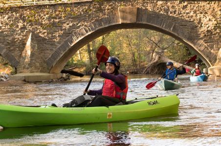
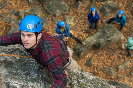


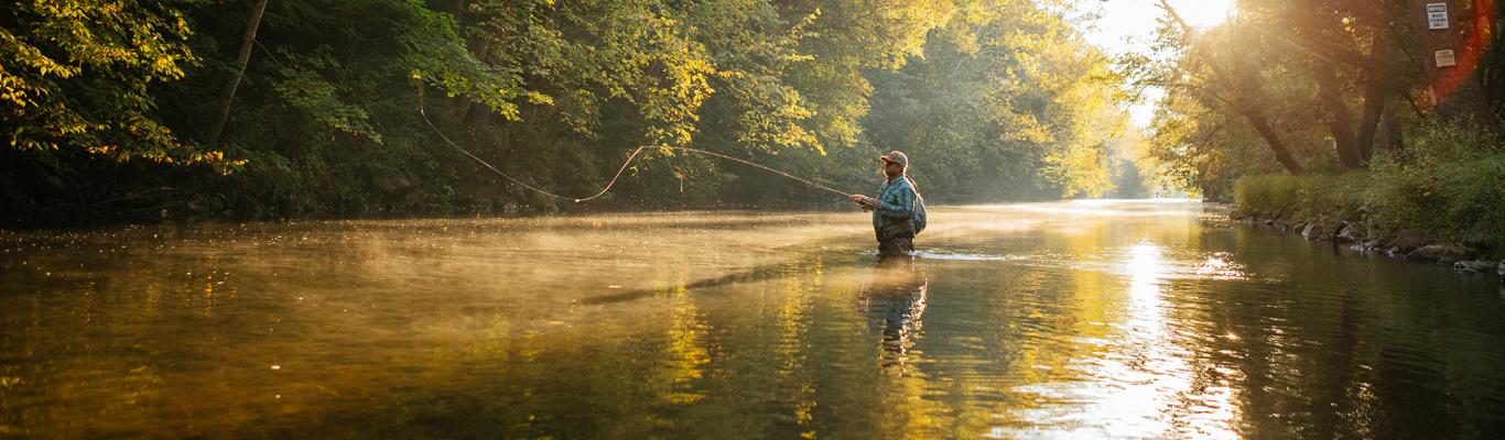
One of Cumberland Valley’s notable assets is easy access to outdoor recreation. A ten minutes in any direction usually brings you to a mountain, a creek, or even a trail.
For many living in this area, “hiking” conjures up thoughts of the Appalachian Trail (A.T.), local state parks, or several popular area hikes such as the Pole Steeple or Flat Rock. These are all great hikes. However, for a true sense of solitude, you may need to be strategic, as the more popular stretches can become a bit more crowded on weekends or during certain seasons. And, of course, it’s always fun to experience something different.
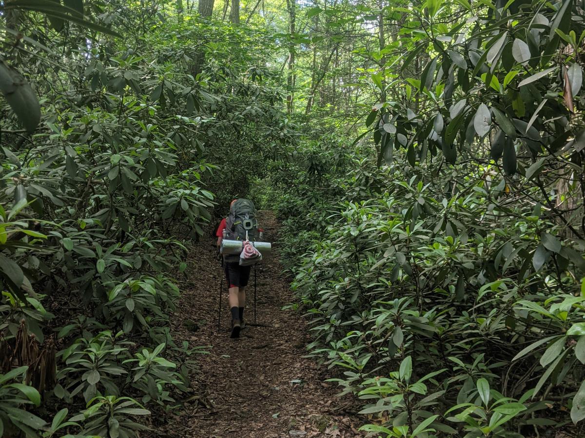
The good news is there are many other off-the-beaten-path options with much to offer regarding scenery and natural beauty. Michaux State Forest, in particular, is a treasure trove of numerous, well-maintained trails covering a variety of terrain options. My son and I have hiked and backpacked extensively between Caledonia State Park and all points northeast to Boiling Springs, and after every trip, we have found ourselves covering at least some new territory.
Here are a few of our favorite hikes in Michaux State Forest, all in or near Cumberland Valley. Since the Appalachian Trail generally offers good parking and trail access, the routes below all rely on the A.T. to some extent, but they can also be incorporated into different adventures.
Hosack Trail Loop
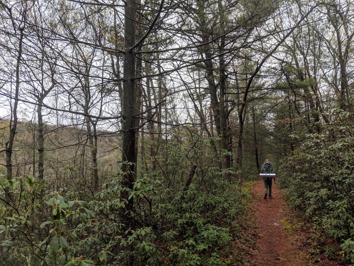
With its imposing rhododendron tunnels and stream crossings, this beautiful trail is one of our favorite stretches in the forest. The A.T. portion of this hike is very nice as well. The hike noted below begins at Caledonia State Park for its ease of parking; however, other versions of this hike can begin near Long Pine Run Reservoir.
Length: About 7.5 miles
Difficulty: Moderate
Description: From Caledonia State Park, hike north on the A.T. past the Quarry Gap Shelter to the Hosack Trail (a.k.a. Hosack Run Trail), then turn right and hike down the Hosack Trail to Greenwood Road. Make another right and hike back out to the A.T. via Greenwood Road and Locust Gap Road; return to the car via the A.T. You can also hike the loop portion in reverse.
What we love: Rhododendron tunnels, rock formations and stream crossings in Dark Hollow, and lots of shade. The Quarry Gap Shelter has to be one of the nicest on the A.T., complete with stone steps leading up through one of the rhododendron tunnels as you make your approach.
Pointers: Parking at Caledonia State Park is easy. The trail can be steep in spots. The Hosack Trail has two stream crossings that can run a bit fast in the spring and will be treacherous if you don’t bring trekking poles or staff to help keep your balance on the rocks. In addition to the shelter, there are several nice campsites along the route if you want to turn this into an overnight hike or incorporate it into a longer trek. There is a spring at the Quarry Gap Shelter, or the stream in Dark Hollow can also be used as a water source (bring a filter in both cases).
Rocky Knob Trail
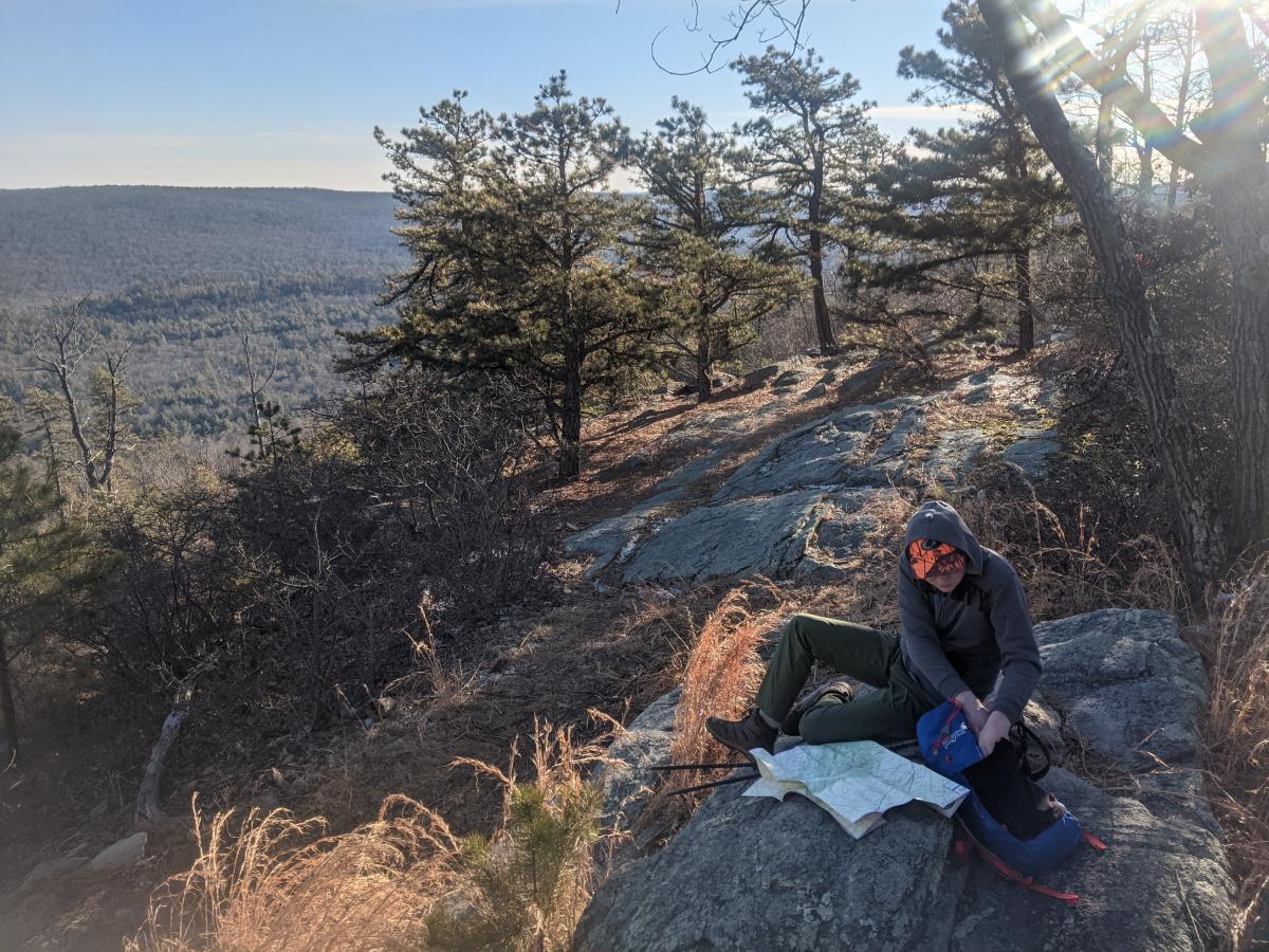
One of the more popular off-A.T. trails in the forest, the loop portion of this hike takes hikers through a particularly nice stretch of woods and along a ridge that offers partially obscured views of a valley. In addition, at the base of the mountain, there’s an optional short hike out a spur to Long Pine Run Reservoir.
Length: 9-10 miles
Difficulty: Easy to Moderate
Description: From the Appalachian Trail “Big Flat” lot on Shippensburg Road (not to be confused with the state forest’s “Big Flat” ATV lot), hike the A.T. south for about 2.5 miles to the Rocky Knob Trail. Make a left and hike the Rocky Knob Trail to where it splits; you can then choose to hike the loop in either direction. Making a left takes you down a more challenging section with better views. Making a right is a more gentle descent through a very pleasant forested area with lots of conifers. There is a spur at the southwest end that you can hike out to Long Pine Run Reservoir.
What we love: The Rocky Knob Trail offers some nice views, especially if you are hiking the eastern side of the loop towards the reservoir. The more gentle western side goes through some beautiful sections of woods. If hiking the spur, the presence of the stream as you approach the reservoir is very pleasant. This is a great beginner’s trail and is where my son and I took our trial backpacking trip when he was 13.
Pointers: Parking at the A.T. lot is easiest. For a shorter hike, you can drive to the Rocky Knob trailhead on Ridge Road (a well-groomed gravel forest road) and hike in from there, cutting about 4.5 miles from the total round-trip distance. Hiking the spur to the reservoir is highly recommended, but the path gets a bit rocky, although not unpleasantly so. You can add on a few more miles by hiking the Beaver Trail out and back along the shore of the reservoir once you get to the reservoir. There are campsites here and there, as well as the Birch Run Shelter on the A.T. if you are taking an overnight hike. Most require packing water in.
Dead Woman Hollow and Blueberry Trail
This more obscure but nonetheless awesome hike meanders in the area just to the east of Shippensburg Road, crossing some recently logged stretches with abundant blueberry plants. Highlights include a very nice overlook and a hollow with a coruscating stream bouncing down multiple small waterfalls.
Length: About 6.5 miles
Difficulty: Moderate to Difficult
Description: From the Appalachian Trail “Big Flat” lot on Shippensburg Road (not to be confused with the state forest’s “Big Flat” ATV lot), hike the A.T. north for roughly 2 miles. You will be on the road that leads to Michener Cabin when the A.T. veers off to the left; continue straight to Michener Cabin and onto the Blueberry Trail past the cabin. Proceed to the overlook. After descending from the overlook, as the trail levels off a bit, there is an unnamed haul road to the right. Follow the haul road to where it stops at Dead Woman Hollow Road. Make a left onto DWH road, go around the curve, and make a right onto an unmarked trail just before the bridge over the creek. Follow this trail, which roughly parallels DWH Road and the stream, back up to the road (which has become Forest Road at the intersection, if looking on a map). Make a left turn onto Forest Road, which will take you straight back to the A.T. You can also hike the loop portion in reverse, but the unmarked trail is a bit harder to find in that direction.
What we love: Abundant wild blueberries in the summertime. The overlook, while not the highest in the forest, is beautiful and a lot less popular than, say, Pole Steeple. The unnamed trail through the hollow is very pretty, with all these little waterfalls and rock formations.
Pointers: The easiest place to park is at the A.T. lot. Blueberry Trail is very steep south of the overlook; do not attempt without trekking poles or equivalent, especially on the descent. The unnamed trail that parallels DWH Road can be hard to find in the winter. Checking AllTrails or a similar app before attempting this hike is a good idea. GPS is helpful. There are a couple of campsites near the cabin and along the A.T. This hike gets a “difficult” rating mainly due to the incline south of the overlook and the trickiness of navigation, but it is well worth the effort. If incorporated into a longer trek, there are several water sources (bring a filter), including a stream near Michener Cabin and the creek that runs through the hollow. There are a few side trails here and there. You can cut out part of the A.T. hike by driving in and parking along Ridge Road (a well-groomed gravel forest road).
About the Author
Scott Gehman is a local camping and backpacking enthusiast. Having done some camping as a kid and a teenager, he really got into it when his son Tom joined the Cub Scouts back in 2012. Scott and Tom have since gone on to enjoy a wide variety of tent camping and backpacking experiences right here in south-central PA, both with and without Tom’s Boy Scout troop. Scott is a Retirement Plan Consultant for Conrad Siegel in Harrisburg and lives in Carlisle with his wife and two kids. Not wanting to live out of sync with Carlisle’s car culture, Scott’s main form of transportation is his Mustang GT, which makes for some quizzical looks from fellow campers when pulling up to a site, and he always calls the forest ranger before he leaves it at a trailhead in the middle of the woods for a backpacking trip!